Aurora Rapid Reactance Tomography (ARRT) - Rapid Electrical Imaging for Mineral Exploration
From Signal to Subsurface Models
Electrical measurements of the ground can reveal zones that contrast with the surrounding host rock. Variations in resistivity often reflect changes in lithology, alteration, structure, moisture content, or mineralization. When processed and inverted, these measurements become 2D cross-sections or 3D resistivity models that help geologists visualize the subsurface and prioritize exploration targets.
What is ARRT?
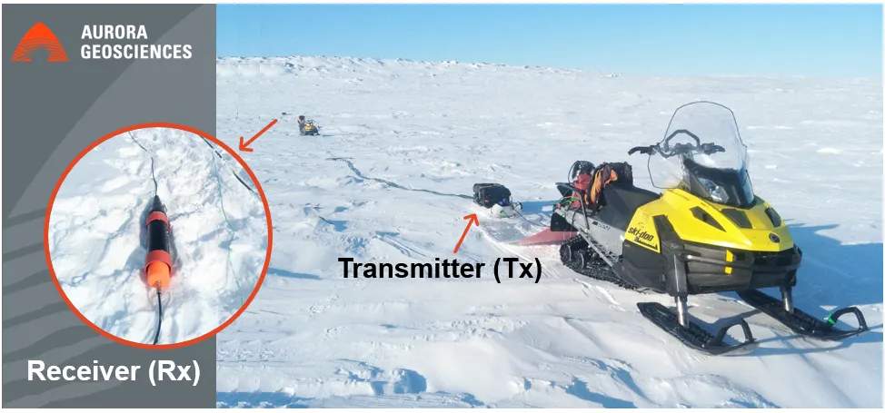
Aurora's Rapid Reactance Tomography (ARRT) system is our ground-based electrical imaging system designed for mineral exploration programs that require efficient data collection, flexible survey geometries, and detailed subsurface characterization.
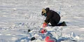
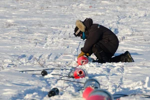
Unlike conventional galvanic resistivity systems that require electrodes to be inserted into the ground, ARRT uses capacitively coupled resistivity principles similar to OhmMapper. This eliminates the need for direct ground contact, reducing setup time and enabling efficient surveying across challenging terrain.
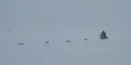
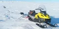
Originally developed for northern exploration environments, ARRT was built to withstand harsh northern winters and uses vehicle-towed transmitters and receivers to enable rapid data collection while supporting a wide range of survey configurations and GPS-tracked positioning.
ARRT is designed to maximize survey productivity while maintaining data quality. The system can acquire data from multiple receivers simultaneously, producing dense datasets with broad spatial coverage that helps resolve geological structures, alteration zones, and potential mineralized systems.
Applications and Advantages
ARRT is particularly well suited to reconnaissance and district-scale exploration programs in open terrain where both productivity and data quality are critical.
Its combination of rapid acquisition, broad coverage, and flexible deployment enables efficient collection of electrical data over large areas. When integrated with modern processing and inversion workflows, ARRT data supports geological mapping, target generation, and drill planning.
The result is a non-invasive, logistically efficient resistivity method capable of turning field measurements into meaningful subsurface interpretations.
Related Services
Popular Posts


Categories
Find Us
Yellowknife
3506 McDonald Dr.
Yellowknife, NT
Canada
X1A 2H1
Whitehorse
34A Laberge Rd.
Whitehorse, YT
Canada
Y1A 5Y9
Juneau
Juneau, AK
United States