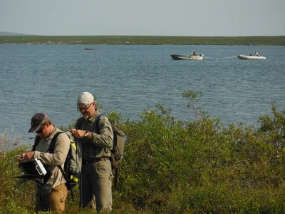
Geotechnical & Hydrographic Services
Supporting infrastructure, engineering, and terrain assessments.
Geophysical Surveys for Geotechnical Applications
Seismic Refraction & MASW
- Depth-to-bedrock mapping
- Engineering velocity profiling
- Permafrost characterization
Electrical Resistivity Tomography (ERT)
- Permafrost investigations
- Groundwater and seepage studies
- Bedrock depth and overburden thickness mapping
Shallow IP / Resistivity
- Near-surface conductivity mapping
- Environmental and engineering investigations
- Utility and subsurface characterization
Ground Penetrating Radar (GPR)
- Cable and utility route investigations
- Ice thickness measurements
- Near-surface hazard identification
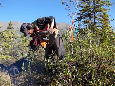
Terrain & Permafrost Engineering Assessment
- Terrain hazard & ground stability mapping
- Permafrost zoning and thaw-susceptibility characterization
- Geotechnical recommendations to support civil & infrastructure design
- Shallow permafrost drilling and coring for geotechnical analysis.
- Cryosol and active layer sampling for thermal and moisture characterization.
- In-field logging and data collection to support permafrost zoning and thaw-susceptibility studies.
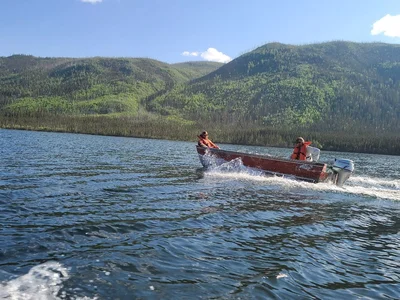
Hydrographic Services
- Single-beam and multibeam bathymetry
- Sub-bottom profiling
- DGPS/RTK positioning
- Lakebed, channel, and reservoir mapping

Deliverables
- Bedrock surface maps
- Geotechnical models
- Bathymetry maps and 3D surfaces
- Engineering interpretations