Geological Services
Comprehensive geology and exploration management.
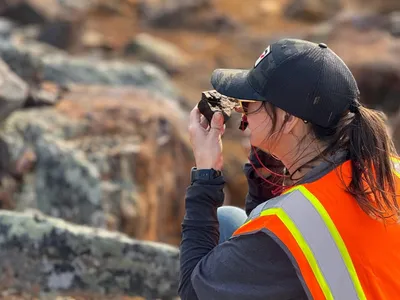
Geological Mapping & Prospecting
- Property-scale and regional geological mapping
- Structural mapping and alteration studies
- Prospecting and rock/soil/stream sediment sampling
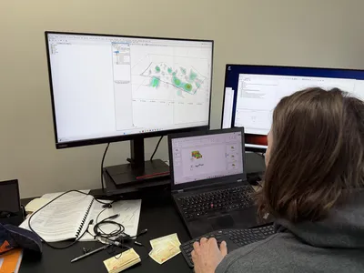
- Integrated GIS support for field data collection
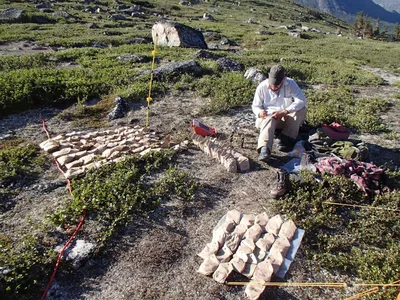
Geochemical Sampling
- Stream, soil, till, and rock geochemistry
- MMI and specialized soil sampling methods
- QA/QC program design and sample chain-of-custody
- Statistical analysis and anomaly interpretation
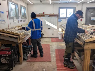
Core Logging & Geological Data Collection
- Lithological, structural & alteration logging
- Geotechnical logging (TCR, RQD, fractures, hardness)
- Spectral / pXRF geochemistry
- Sampling plans & drill data management
- High resolution core photography with cloud available file hosting
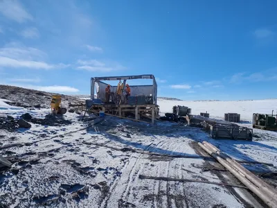
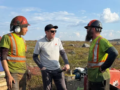
Drill & Bulk Sampling Program Design & Supervision
- Diamond and RC drill program planning and in-field management
- Tendering and contractor selection & supervision
- Daily reporting and program progress with QA/QC oversight
- Drill hole targeting informed by geology + geophysics
Resource Evaluation & Reporting
- Historical data audits, QAQC and compilation
- Resource delineation and modeling
- NI 43-101 technical reporting
- Cross-sections, 3D models & interpretations
- Desktop studies and recommendations
Exploration Program Design and Execution
- Integrated project planning (targets, budget, scheduling)
- Survey selection & sequencing (geology, geochem, geophysics)
- Dynamic Exploration strategies built on past data and continuously refined with the integration of new data
Deliverables
- Geological maps & 3D models
- Target maps with anomaly priorities identified and drill recommendations
- QA/QC documentation
- Property Assessment reports
- NI 43-101 compliant technical reports
- End-of-season program reports - technical and regulatory