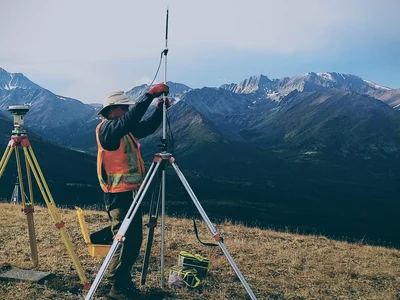
GIS & Data Solutions
Data management and mapping to support exploration, engineering, and operational decision-making.
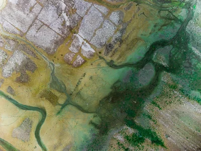

Data Management and Digitization
- Historic data scanning & digitizing
- Georeferencing & metadata creation
- Data conversion (CAD, GIS, Geosoft, etc.)
- Database design & QA/QC
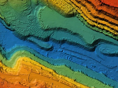
LiDAR Data Processing
- Point cloud classification
- DEM/DTM/3D surface models
- Change detection
- Data fusion

Spatial Analytics and Decision Analysis
- 3D modeling (geology & geophysics)
- Multicriteria evaluation (MCE)
- Least-cost path & routing
- Mineral potential analysis

Deliverables
- Web maps
- GIS geodatabases
- 3D visualization files (Leapfrog-ready)
- Full map packages