UAS/Drone Orthoimagery
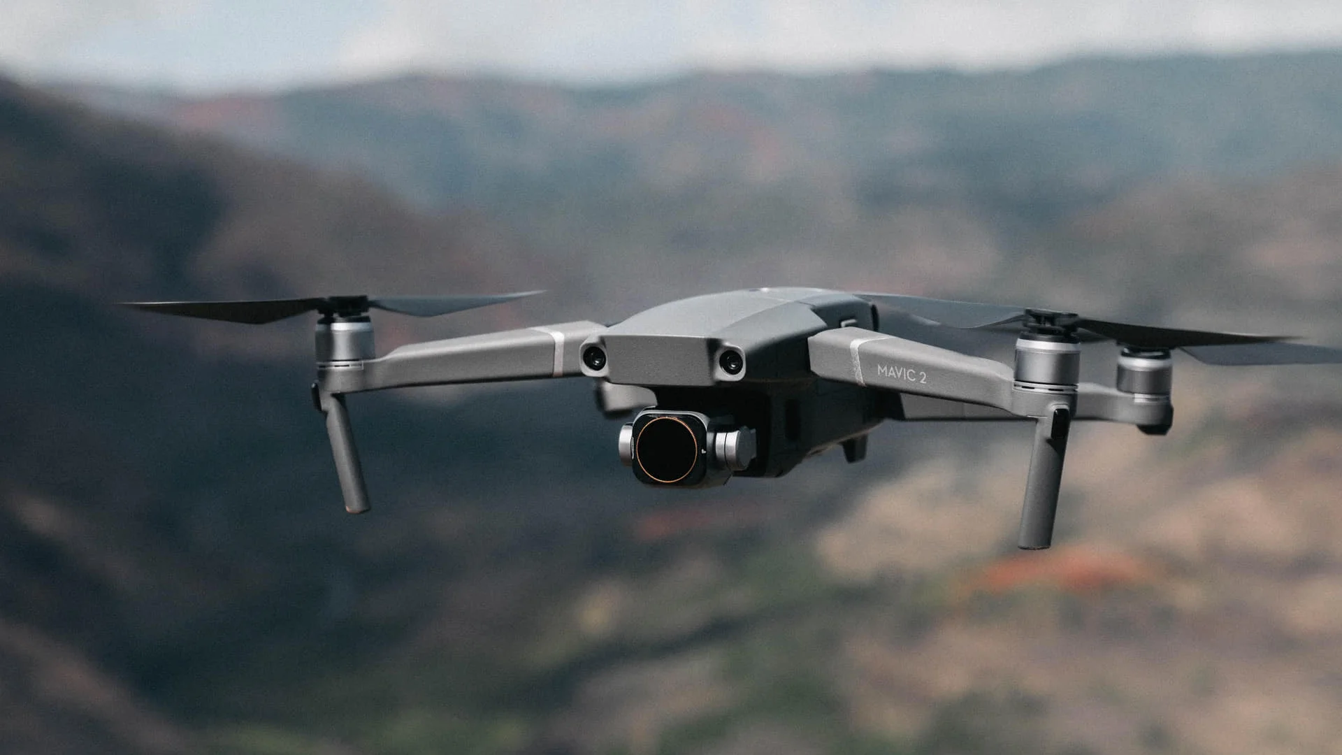
Aurora Geosciences Ltd. offers professional drone and unmanned aerial system (UAS) services for a variety of applications. Our team is equipped with state-of-the-art technology and we are trained to provide high-quality imagery data and analysis.
Orthoimagery:
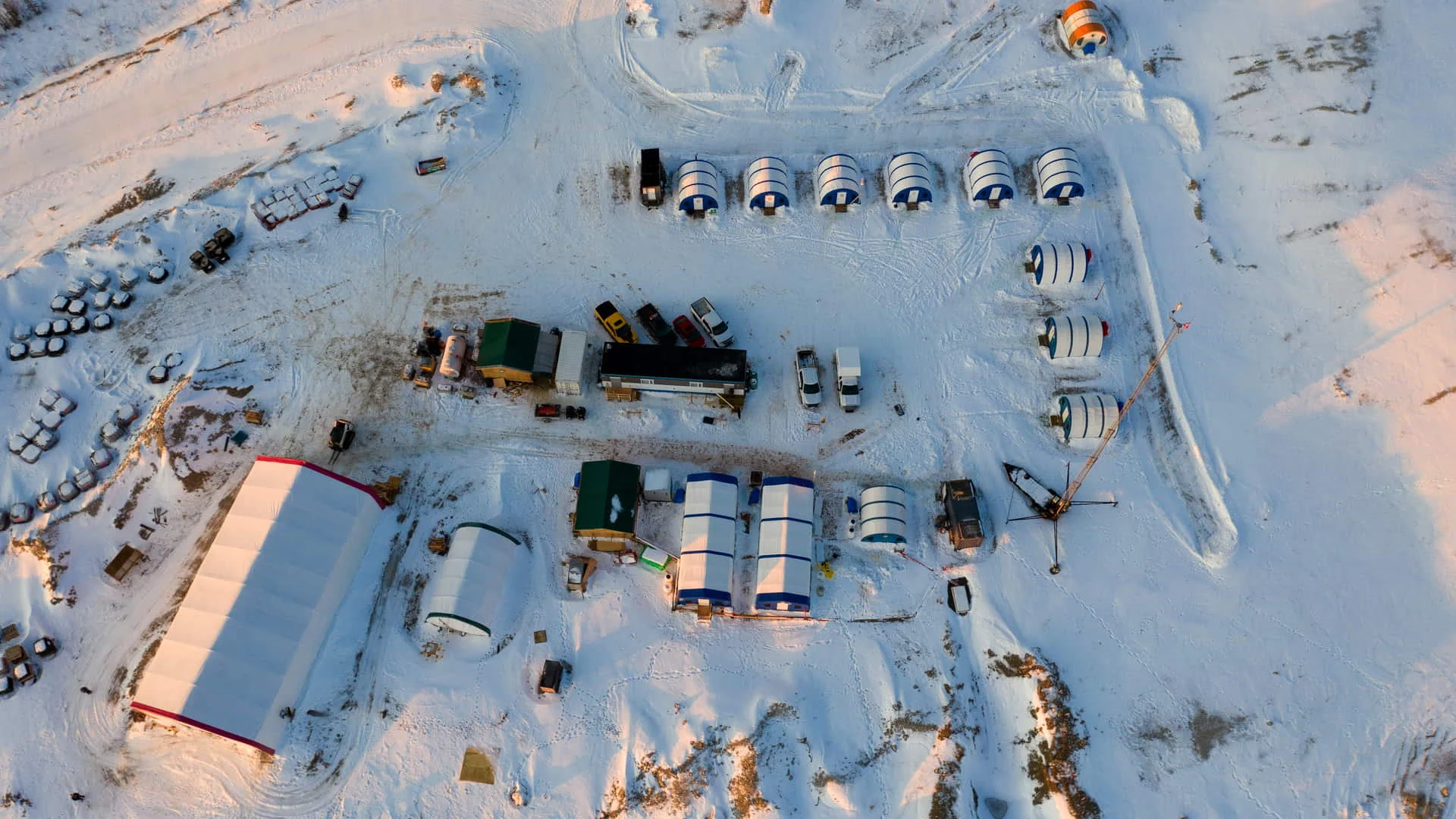
Our orthoimagery surveys utilize state-of-the-art drone technology to capture high-resolution aerial images of your site. These images are then processed to create accurate, geo-referenced 2D maps that can be used for various exploration applications as well as land-use planning, asset management, and change detection. Our team can provide you with high-resolution, up-to-date imagery that can be used to make informed decisions and support project planning. With the ability to cover large areas in a short amount of time, our orthoimagery service is a cost-effective solution.
Digital Elevation Model (DEM):
Our drones capture data to create detailed 3D models of the terrain. These models can be used for site planning, volume calculations, and many other applications.
RTK: Our drones can be equipped with Real-time Kinematic (RTK) GPS, allowing for centimeter-level accuracy.
Our UAS services are designed to be cost-effective, efficient and safe, and can be tailored to meet the specific needs of each client.
Let our team of experts help you to get the most out of your drone data, and to make informed decisions. Contact us today to learn more about how we can help with your UAS needs.
Specifications
| Acquisition Method: | Airborne |
| GSD: | < 2 cm (0.8 in)/px |
Find Us
Yellowknife
3506 McDonald Dr.
Yellowknife, NT
Canada
X1A 2H1
Whitehorse
34A Laberge Rd.
Whitehorse, YT
Canada
Y1A 5Y9
Juneau
Juneau, AK
United States
Message Us
Work
FEATURED CASE STUDIES
-
Aurora Rapid Reactance Tomography (ARRT) - Rapid Electrical Imaging for Mineral Exploration
Jun 22, 2026
-
Operational Trust in the Field - A Case Study at White Cliff Minerals’ Rae Copper Project
Jun 22, 2026
-
GIS - Based Mineral Potential Regional-Scale Study - Slave Geological Province, NWT
Apr 09, 2026